Thiruvarur District Overview
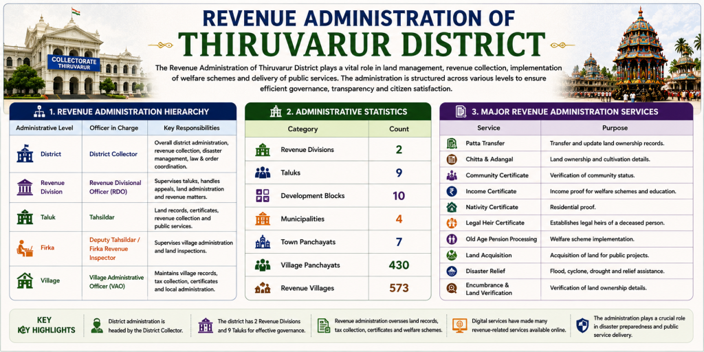
Thiruvarur District is one of the culturally and agriculturally significant districts of Tamil Nadu, located in the fertile Cauvery Delta region. Known as the “Land of Agriculture” and often referred to as the “Granary of South India,” the district is famous for its lush paddy fields, ancient temples, rich musical heritage, and vibrant cultural traditions. It was established as a separate district on 1 January 1997 by reorganizing parts of the former Thanjavur and Nagapattinam districts.
District at a Glance
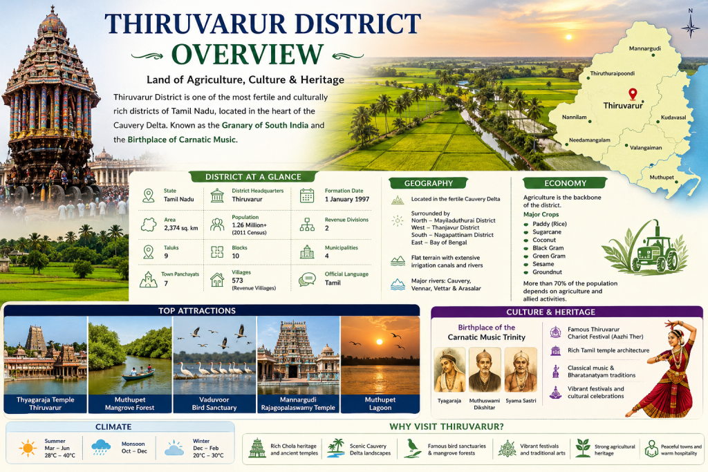
| Feature | Details |
|---|---|
| State | Tamil Nadu |
| District Headquarters | Thiruvarur |
| Formation Date | 1 January 1997 |
| Area | Approximately 2,374 sq. km |
| Official Language | Tamil |
| Population | About 1.26 million (2011 Census) |
| Revenue Divisions | 2 |
| Taluks | 9 |
| Blocks | 10 |
| Municipalities | 4 |
| Town Panchayats | 7 |
| Villages | 573 Revenue Villages |
About the Population
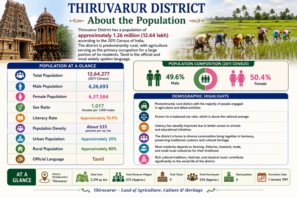
Thiruvarur District has a population of approximately 1.26 million (12.64 lakh) according to the 2011 Census of India. The district is predominantly rural, with agriculture serving as the primary occupation for a large portion of its residents. Tamil is the official and most widely spoken language, reflecting the district’s rich cultural and linguistic heritage.
Population at a Glance
| Category | Details |
|---|---|
| Total Population | 12,64,277 (2011 Census) |
| Male Population | 6,26,693 |
| Female Population | 6,37,584 |
| Sex Ratio | 1,017 females per 1,000 males |
| Literacy Rate | Approximately 74.9% |
| Population Density | About 533 persons per sq. km |
| Urban Population | Approximately 20% |
| Rural Population | Approximately 80% |
| Official Language | Tamil |
Thiruvarur District – Statistics at a Glance
Measurement of Thiruvarur District
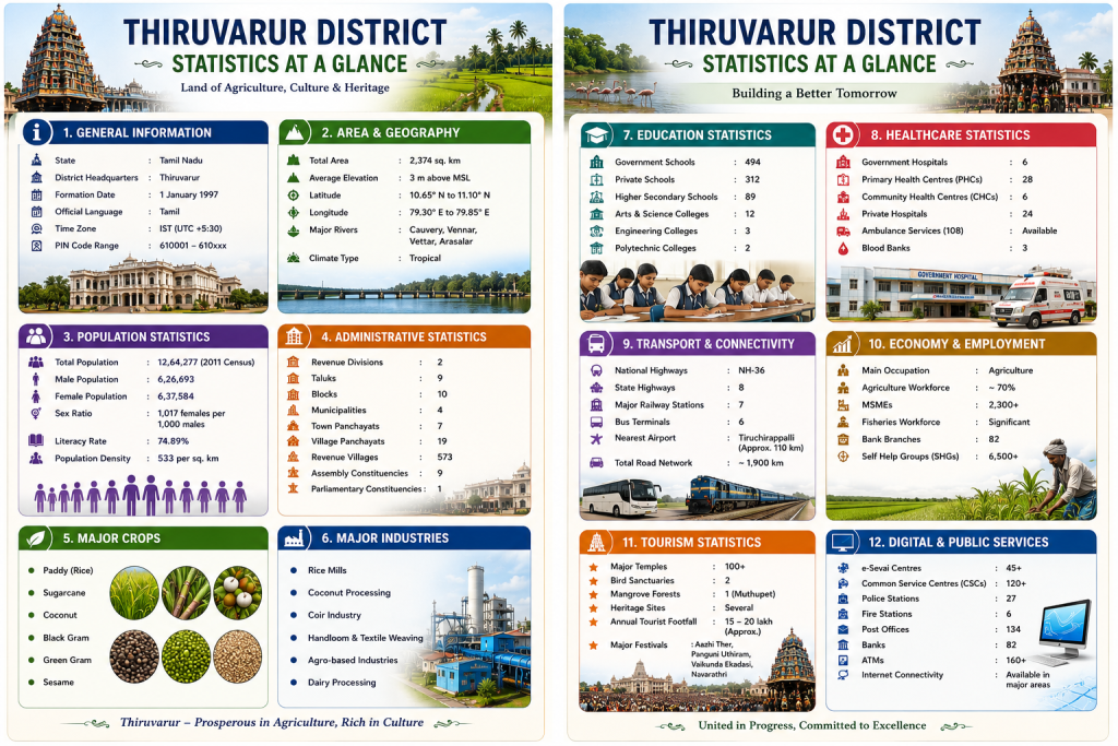
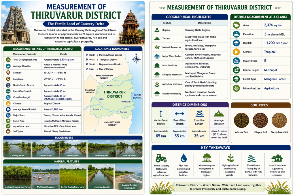
Thiruvarur District is situated in the fertile Cauvery Delta region of Tamil Nadu and is known for its vast agricultural plains, river networks, and coastal ecosystems. The district covers an area of approximately 2,374 square kilometres, making it one of the important delta districts in the state. Its flat terrain, low elevation, and extensive irrigation facilities contribute significantly to rice cultivation and other agricultural activities.
The district is bordered by Mayiladuthurai to the north, Thanjavur to the west, Nagapattinam to the south, and the Bay of Bengal to the east. Several distributaries of the Cauvery River, including the Vettar, Vennar, and Arasalar, flow through the district, enriching its fertile soils.
Measurement Details of Thiruvarur District
| Measurement Parameter | Details |
|---|---|
| Total Geographical Area | Approximately 2,374 sq. km |
| Average Elevation | About 3 metres (10 ft) above mean sea level |
| Latitude | 10°20′ N – 10°55′ N |
| Longitude | 79°15′ E – 79°45′ E |
| North–South Stretch | Approximately 65 km |
| East–West Stretch | Approximately 55 km |
| Coastline Length | Approximately 35 km (Muthupet coastal region) |
| Climate | Tropical Climate |
| Average Annual Rainfall | Around 1,200 mm |
| Major Rivers | Cauvery, Vennar, Vettar, Arasalar, Pamani |
| Forest Area | Includes Muthupet Mangrove Forests |
| Agricultural Land | More than 70% of the district area |
| Soil Types | Alluvial, Clayey, Sandy Loam |
Geographical Highlights
| Feature | Description |
|---|---|
| Region | Cauvery Delta Region |
| Terrain | Mostly flat plains with fertile agricultural land |
| Natural Resources | Rivers, wetlands, mangrove forests, fertile soil |
| Major Water Bodies | Cauvery River system, irrigation canals, Muthupet Lagoon |
| Main Land Use | Agriculture, fisheries, settlements, wetlands |
| Ecological Importance | Muthupet Mangrove Forest and Bird Habitat |
| Agricultural Importance | One of Tamil Nadu’s leading paddy-producing districts |
| Disaster Vulnerability | Northeast monsoon floods, cyclones, and coastal erosion |
District Measurement at a Glance
| Category | Value |
|---|---|
| Area | 2,374 sq. km |
| Elevation | 3 m above MSL |
| Rainfall | ~1,200 mm/year |
| Climate | Tropical |
| Major Rivers | 5 |
| Coastal Region | Muthupet |
| Forest Type | Mangrove Forest |
| Primary Land Use | Agriculture |
Previous History of Thiruvarur District
Thiruvarur District has a rich and illustrious history that dates back over a thousand years. Located in the fertile Cauvery Delta region of Tamil Nadu, it has been an important centre of administration, religion, agriculture, and culture since ancient times. The district flourished under the rule of the Cholas, who transformed the region into one of the most prosperous parts of South India through advanced irrigation systems, temple construction, and maritime trade.
During the medieval period, Thiruvarur became renowned for its magnificent temples, especially the Thyagaraja Temple, which emerged as a major spiritual and cultural centre. The district later came under the control of the Pandyas, Vijayanagara Empire, Nayaks, and Marathas of Thanjavur, each contributing to its architectural, cultural, and administrative development.
Under British rule, the region formed part of the Thanjavur District of the Madras Presidency. Following India’s independence in 1947, Thiruvarur continued to be administered under Thanjavur and later Nagapattinam District. To improve administrative efficiency and public service delivery, Thiruvarur District was officially formed on 1 January 1997 by carving out areas from the former Nagapattinam District.
Today, Thiruvarur is celebrated as the birthplace of the Carnatic Music Trinity—Saint Tyagaraja, Muthuswami Dikshitar, and Syama Sastri. The district is also famous for its agricultural prosperity, temple heritage, classical music traditions, and the grand Aazhi Ther (Temple Chariot Festival), one of the largest temple car festivals in Asia.
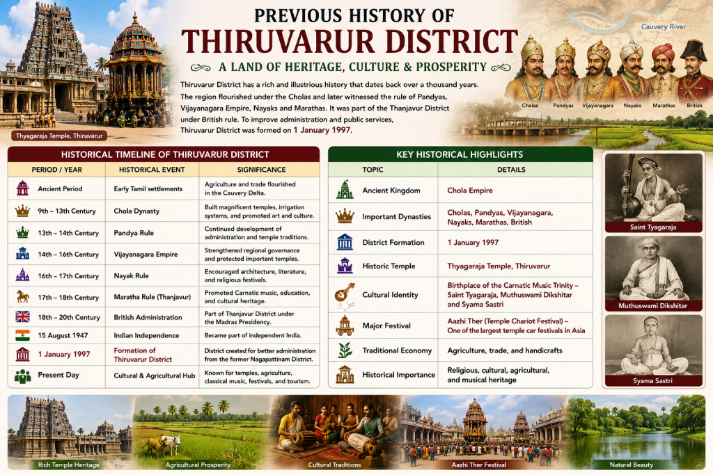
Historical Timeline of Thiruvarur District
| Period / Year | Historical Event | Significance |
|---|---|---|
| Ancient Period | Early Tamil settlements | Agriculture and trade flourished in the Cauvery Delta. |
| 9th–13th Century | Chola Dynasty | Built magnificent temples, irrigation systems, and promoted art and culture. |
| 13th–14th Century | Pandya Rule | Continued development of administration and temple traditions. |
| 14th–16th Century | Vijayanagara Empire | Strengthened regional governance and protected important temples. |
| 16th–17th Century | Nayak Rule | Encouraged architecture, literature, and religious festivals. |
| 17th–18th Century | Maratha Rule (Thanjavur) | Promoted Carnatic music, education, and cultural heritage. |
| 18th–20th Century | British Administration | Part of Thanjavur District under the Madras Presidency. |
| 15 August 1947 | Indian Independence | Became part of independent India. |
| 1 January 1997 | Formation of Thiruvarur District | District created for better administration from the former Nagapattinam District. |
| Present Day | Cultural & Agricultural Hub | Known for temples, agriculture, classical music, festivals, and tourism. |
Key Historical Highlights
| Topic | Details |
|---|---|
| Ancient Kingdom | Chola Empire |
| Important Dynasties | Cholas, Pandyas, Vijayanagara, Nayaks, Marathas, British |
| District Formation | 1 January 1997 |
| Historic Temple | Thyagaraja Temple, Thiruvarur |
| Cultural Identity | Birthplace of the Carnatic Music Trinity |
| Major Festival | Aazhi Ther (Temple Chariot Festival) |
| Traditional Economy | Agriculture, trade, and handicrafts |
| Historical Importance | Religious, cultural, agricultural, and musical heritage |
Revenue Administration of Thiruvarur District
The Revenue Administration of Thiruvarur District plays a vital role in maintaining land records, collecting land revenue, implementing government welfare schemes, and ensuring efficient public service delivery. Headed by the District Collector, the revenue administration is responsible for disaster management, election duties, issuance of certificates, land acquisition, and coordination of development activities across the district.
The district is divided into 2 Revenue Divisions, which are further subdivided into 9 Taluks, 10 Development Blocks, and several Firkas, Revenue Villages, and Village Panchayats. Each administrative level contributes to effective governance and public administration.